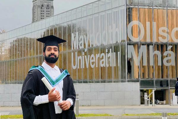
I hold a Master’s degree in GIS and Remote Sensing from Maynooth University and bring strong skills in spatial data capture, analysis, and interpretation using industry-standard tools and workflows.
My GIS experience includes an INTERNSHIP as a Research Assistant with the 5*S: Space, Surveyors & Students Program. I worked on high resolution drone imagery processing to generate RGB & Multispectral orthomosaics, Digital Surface Models (DSMs), and Point Clouds for land use/land cover studies with the results and outputs presented in an interactive ArcGIS Story Maps to communicate spatial insights effectively.
In addition to GIS, I hold a Master’s in Applied Geology, which enhances my ability to contribute to projects involving geological and geophysical insights.
Before transitioning to Geospatial Sciences, I gained over three years of professional experience in sales and marketing with the Karma Group, a multinational hospitality brand, which strengthened my communication, client management and teamwork skills, qualities that can be transferred into every GIS project today.
Python geospatial programming for processing of remote sensing data to uncover the unseen has been my recent focus, along with a continuous effort to upskill and stay tuned with evolving geospatial technologies.